Technology. Archaeology. Geophysics.
What is Geophysical Archaeology?
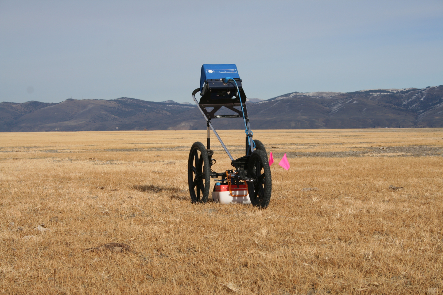
Geophysical archaeology is simply a method of data collection that uses geophysical techniques to discover and map physical and chemical changes in the ground related to subsurface archaeological features. To put it another way, there are a lot of buried archaeological sites and features that are difficult to find and study using only traditional methods like pedestrian survey and excavation.
Geophysical methods are designed to map features that are buried. They are currently the only strategy we have to map buried features in a way that is non-destructive.
It is important to remember that geophysical methods are NOT an x-ray, subsurface photograph, or any other “magic” tool portrayed by Hollywood. We are simply measuring changes in the ground, and then it is up to us as archaeologists to interpret what those changes mean.
Using geophysical methods like ground-penetrating radar (GPR) for archaeology is a specialty! Methods like GPR especially are used for a lot of different applications, including locating utilities, pipes, voids, and more. Archaeology is its own specialty requiring its own training. As archaeologists, we collect data differently, process it differently, and most importantly, understand how to analyze and interpret data in ways that help other archaeologists understand the site.