Archaeology and Historic Preservation
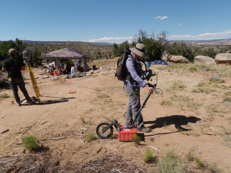
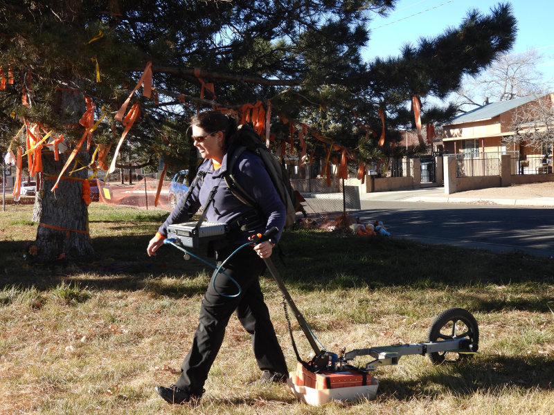
Locating and mapping buried sites and features is a core part of what I do! We are often trying to map the depths and layouts of features to better understand how people lived in the past.
Hi! I’m Dr. Jennie Sturm, and I’m an Albuquerque, New Mexico born-and-raised archaeologist specializing in ground-penetrating radar (GPR) and other geophysical methods. Professionally, you can find me at SWCA Environmental Consultants, where I lead a team of geophysical archaeologists and work on projects all over the U.S.
Learn more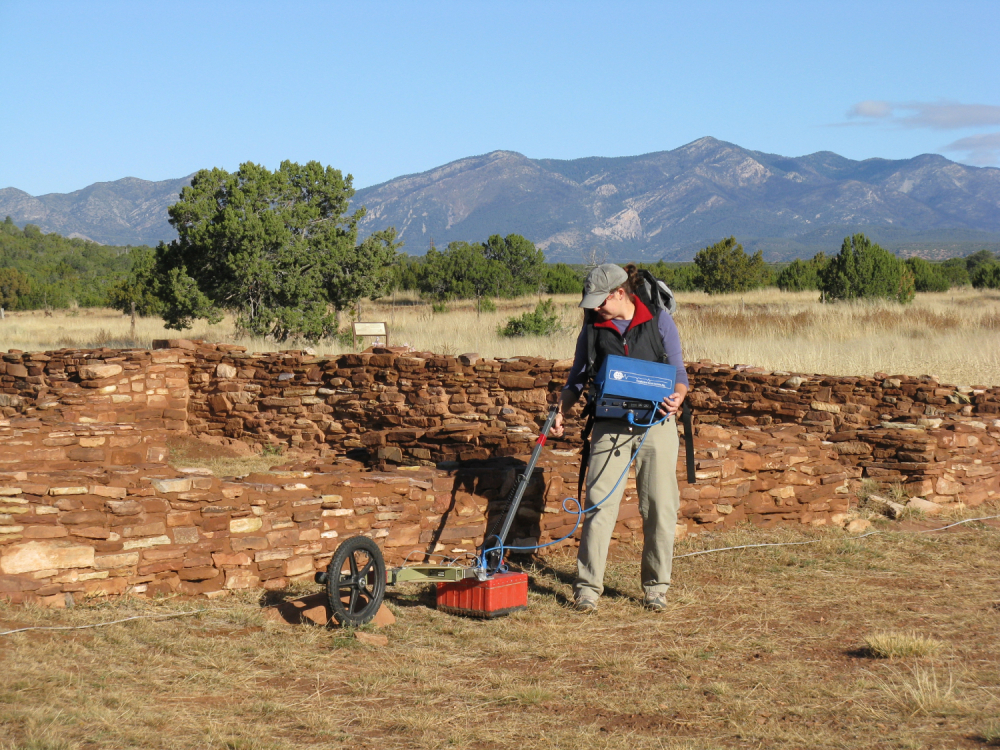
As a kid growing up in New Mexico, I loved being outside and was always drawn to our rich archaeological and geological history. But it wasn’t until I was an undergraduate at the University of Denver that I discovered GPR and learned about its applications to archaeology. I was immediately drawn to the combination of geology, mapping/spatial analysis, and archaeology that it required.
Learn more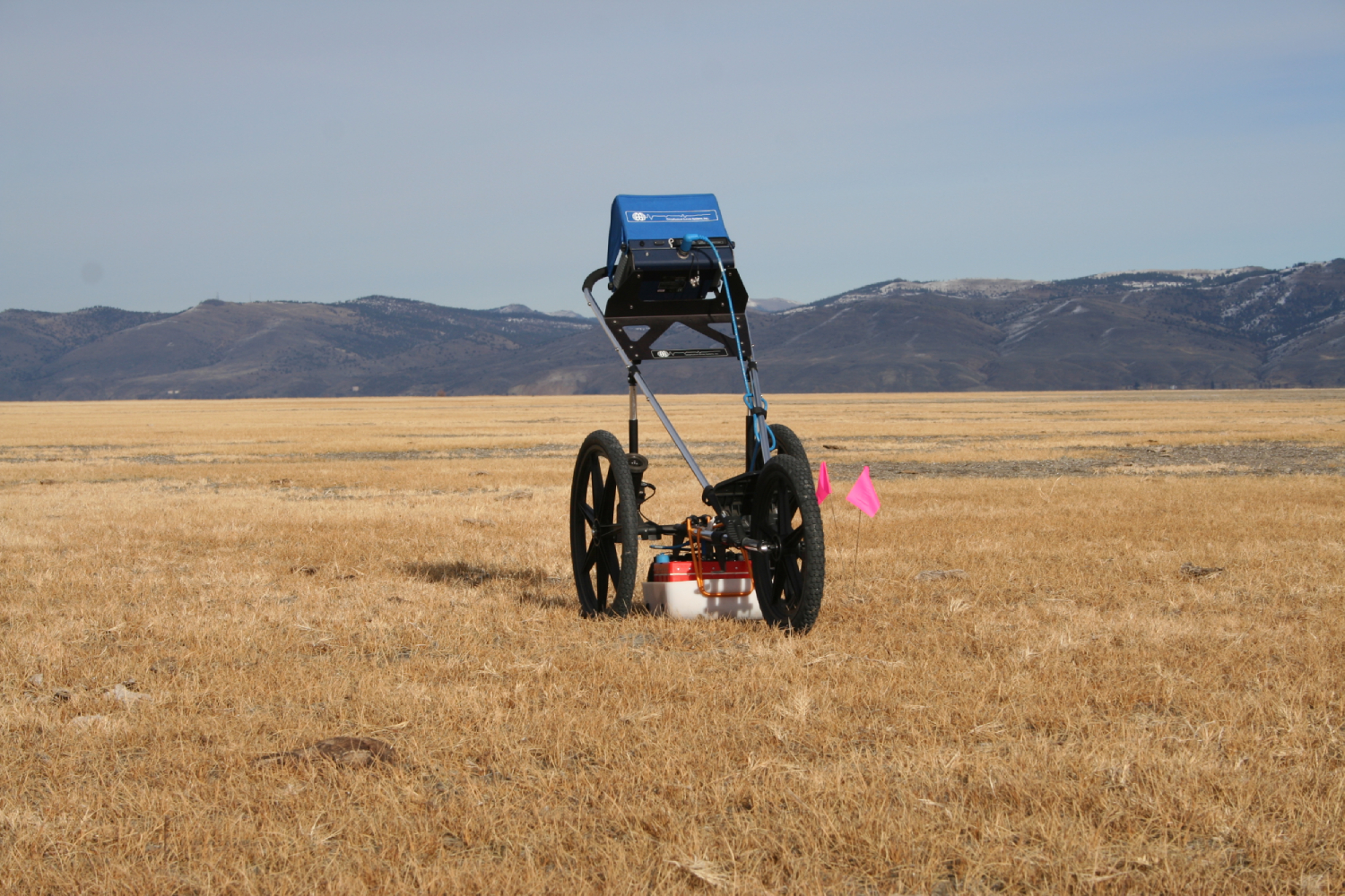
Geophysical archaeology is simply a method of data collection that uses geophysical techniques to discover and map physical and chemical changes in the ground related to subsurface archaeological features. To put it another way, there are a lot of buried archaeological sites and features that are difficult to find and study using only traditional methods like pedestrian survey and excavation.
Learn moreGeophysics can be used in a range of cultural applications. Below are examples of some of the projects I do:
Locating and mapping buried sites and features is a core part of what I do! We are often trying to map the depths and layouts of features to better understand how people lived in the past.
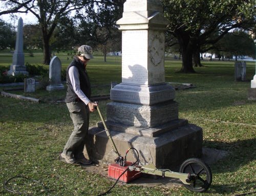
GPR is especially useful for locating unmarked burials and mapping cemeteries. Cemeteries and grave markers get lost, damaged, or destroyed all the time. Locating burials and mapping the boundaries of cemeteries can help communities reclaim their history and manage these important spaces. GPR can also be helpful for forensics investigations.
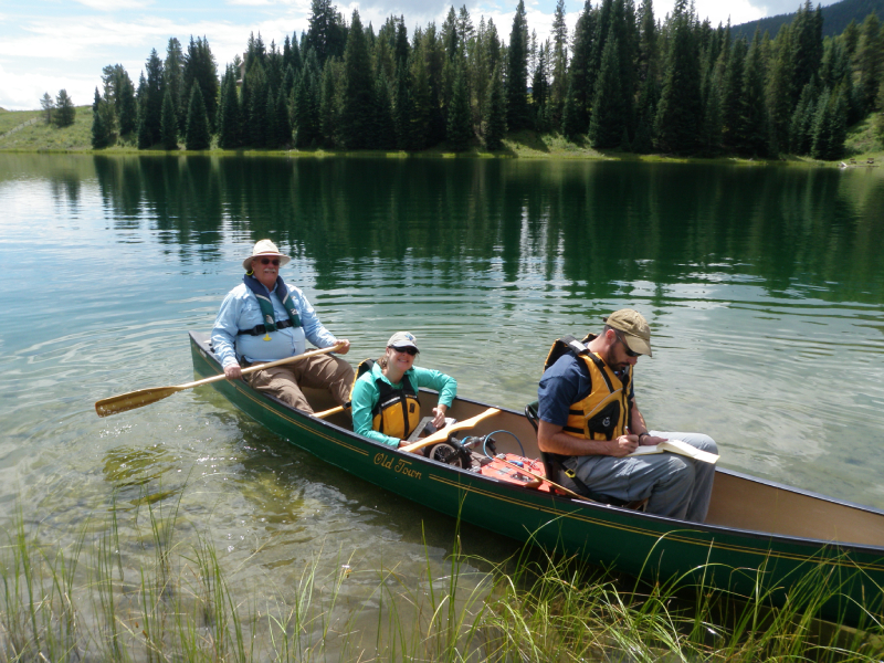
Understanding the past environment and local geology is a key component to archaeological studies. We use geophysics to map features on the landscape like channels, lake bottoms, and stratigraphic units.
Geophysical surveys are not always one-off projects. I am honored to be involved in long term initiatives, including the Albuquerque Indian School and Ft. Lewis Indian Boarding School programs, that involve not only technical mapping work, but Tribal consultations, collaborations with other professionals, and media engagement.